All Mile 89 Reports
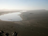
Mile 89
West of New River, Morton. Curry/Coos county line
Kayaked in from Storm Ranch then traveled 4 miles S to middle of mile 89.
naturalworld@frontier.com
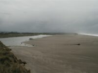
Mile 89
West of New River, Morton. Curry/Coos county line
Kayaked from Storm Ranch to old breach near end of Mile 90 and walked to S.
naturalworld@frontier.com